OCEAN SURFACE WINDS
Satellites:
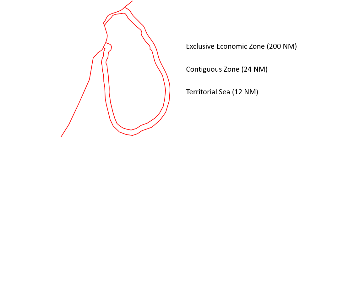

The scatterometer instrument aboard the EUMETSAT Metop satellites, determines speed and direction of winds over the surface of the oceans.
Resolution: 25 Km
Black circles indicate possible contamination
Image Credit: NOAA/NESDIS.
Sri Lanka time: UTC + 5 hrs. and 30 min

Home | Contact: info@gazersdigest.com
©2020-2026 Gazer’s Digest is an information-sharing platform using reliable sources to support the human-written articles. Gazer’s Digest includes topics, thought to be useful for the readers, and the contents may be related to investments. Gazer’s Digest is also a digital learning tool that helps you understand complex concepts, stay updated on trends, and sustainable solutions.