
SATELLITE-BORNE SAR: DETECTS MARINE OIL SPILLS
January 16, 2022
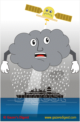
Synthetic Aperture Radar (SAR) is an active sensor. It provides energy using microwaves. Microwaves can travel through clouds.
The SAR image pixels show the level of energy radiated back to the sensor. Darker pixels on the image indicate the low backscatter areas and brighter pixels on the image indicate the areas with high backscatter.
A smooth flat surface radiates SAR's energy at an angle. In other words, a smooth flat surface never radiates SAR's energy back to the antenna. Therefore, the SAR images show the smooth surface as black.
A marine oil spill suppresses capillary waves. The suppressed areas on the sea surface create patches that are darker than the surrounding areas in the image.
However, marine weather conditions, for example, can create similar visual patterns.

Home | Contact: info@gazersdigest.com
© 2020-2025 Gazer’s Digest is an information sharing platform. Gazer’s Digest includes topics, thought to be useful for the readers.